
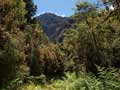
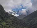
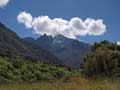
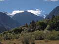
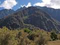
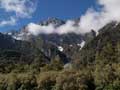
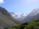
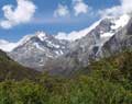
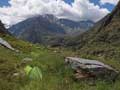
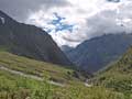
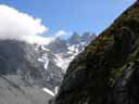
A long beautiful valley on the West Coast. There is a track that goes all the way to a basin below the Copland Pass at the head of the valley.
| Where | Track | Time | Total | |||
|---|---|---|---|---|---|---|
| Road to start of Welcome flat | Good track | 7 hours | ||||
| To basin under Copland pass (1400m) | Good track, but overgrown in parts | 7 hours | 14 hours | |||
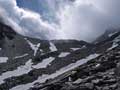
| To Copland Pass | Scree, snow, and steep rock | 3 hours | 17 hours | |||
| Return | 15 hours | 32 hours | ||||
| Blue text and thumbnails are links | ||||||
 |
 |
 |
 |
 |
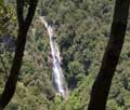
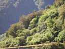
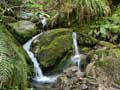
| Track | Waterfall | Rata | Ruera | Rocks |
 |
 |
 |
 |
 |
Up valley | Welcome Flat | Scott creek | Valley head | Side stream |
 |
 |
 |
 |
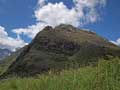
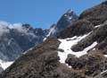
| Copland pass | Across river | Camp | Down valley |
 |
 |
 |
 |
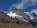
| Sefton massif | Banks range | Banks range | Copland pass |
HOME
Email: ![]()
Copyright © 2010, 2011, 2012, 2013 J.S. Milne.