Denali 1999, J.S. Milne
For a long time I had been attracted by Denali (20,320 feet; highest peak in North America), but the crevasses below 14,200 feet make it dangerous to solo. In 1999, I went with one other person, Pete Downie, on the West Buttress route. Below 14,200 feet we climbed together; above, effectively, we soloed.Denali is the tallest mountain on Earth when measured from its base, and one of the most isolated. It is a long way to the base of Denali from any road, so, like most climbers, we flew into the base camp on the Kahiltna glacier.
Day 0. (June 2, 1999). Pete and I were stuck in the village of Talkeetna by bad weather, waiting for a flight into the Kahiltna glacier.
Day 1. (June 3). We flew into the Kahiltna glacier at 7200 feet, and
sledded/carried all our gear to a camp at about 7800 feet up the glacier.
With 22 days food, climbing gear,
and enough clothing and camping gear to survive a major storm, I had about 100 lbs. Pete
had even more.
The Park advises parties not to attempt to reach the summit in less than 14 days
(because of the altitude) and guided parties take at least 17. We were hoping to do it in
less, but the weather on Denali is notoriously bad, whence the extra food. The forecasts
before we left were for temperatures of minus 35F (-37C) and winds of 60 mph on the
summit. The first night, the temperature was 8F (-13C) at our campsite.
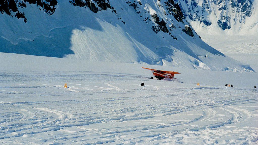
Landing at Kahiltna base, 7,200 feet.
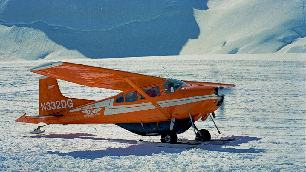
About to take off.
Day 2. We single sledded (i.e., moved with all our gear and food) to a camp at 9000 ft on the glacier. During the night the wind was so fierce that Pete's tent would have been buried by the snow if he hadn't spent part of the night digging it out.
Everyone checking their iPhones. Oops, this was 1999, 8 years before the iPhone.
Two views as we plodded up the Kahiltna glacier with all our gear.
Day 3. We single sledded to 10,500 ft.
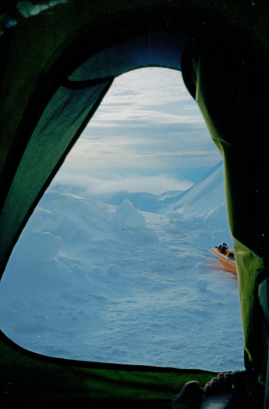
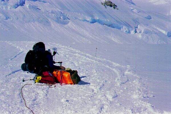
Late-evening view out my tent door at 10,500 ft. My sled is at right.
The midnight (!) setting sun, at 10,500 feet.
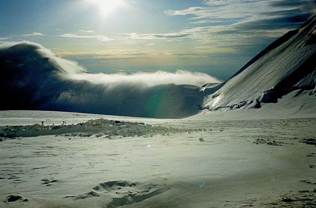
Kahiltna Pass is at right, with cloud blowing across the ridge leading to Kahiltna Dome.
At left there are some tents almost hidden by protective walls.
Day 4. The Kahiltna glacier had been gentle, but now we had to climb its steeper northeast fork, past Windy Corner. Today we hauled a load to 12,500 ft, and cached it; returned to 10,500 ft.
Day 5. We moved camp to 14,200 ft.
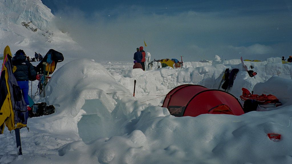
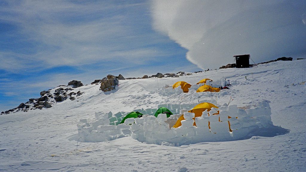
An igloo at left and a tent with walls to protect it from the wind (at 14,200 ft).
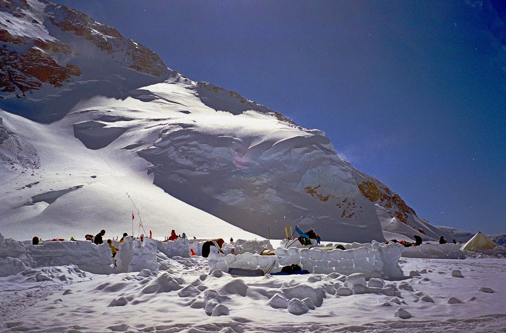
The camp at 14,200 ft. The slope behind is called the "Orient Express".
Day 6. We returned and picked up the cache from 12,500 ft.
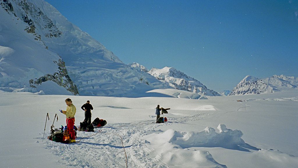
Day 7. We rested and acclimatized in mediocre weather at 14,200 ft.
Day 8. Carried a load to the 17,200 ft camp, and returned to the 14,200 ft camp.
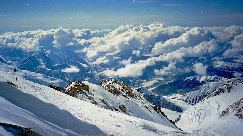
View on the way.
The route from the 14,200 camp to the 17,200 camp climbs to a col at 16,200, and then follows a very beautiful ridge. This is the view looking back down the ridge from about 17,000 ft.
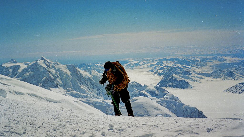
A weary climber.
Another view down the ridge.
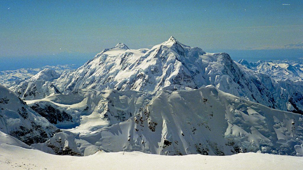
with Mount Foraker (17,400 ft, 5304m) at left.
Day 9. Moved camp from 14,200 ft to 17,200 ft. Passed several climbers on the climb, and reached the campsite first, thereby securing the best fort (campsite with snow walls to protect against winds, built by earlier climbers). Pete came up later in the day and shared the fort.
Ours are the little green tents at left.
Day 10. I left for the summit from the 17,200 ft camp before everyone else, and had the mountain to myself until I met two Australians who were camping at 19,500 ft after an ascent of the West Rib. The summit ridge had a snow plume, and the Aussies warned me it could be difficult in a high wind. I climbed to the ridge, and was struck by a powerful southerly wind blowing across the ridge. After I had traversed about 50 feet of the summit ridge it became necessary to walk on top of the narrow (inches wide) snow/ice ridge. Because of the buffeting by the wind, this was too dangerous without the rope, and so I was forced to abandon the climb only 150 feet below the summit. To add to my chagrin, the wind dropped later, and when other climbers (including Pete) reached the summit ridge later in the day, it presented no difficulties.
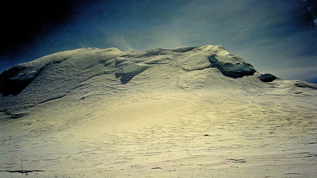
Summit ridge with snow plumes.
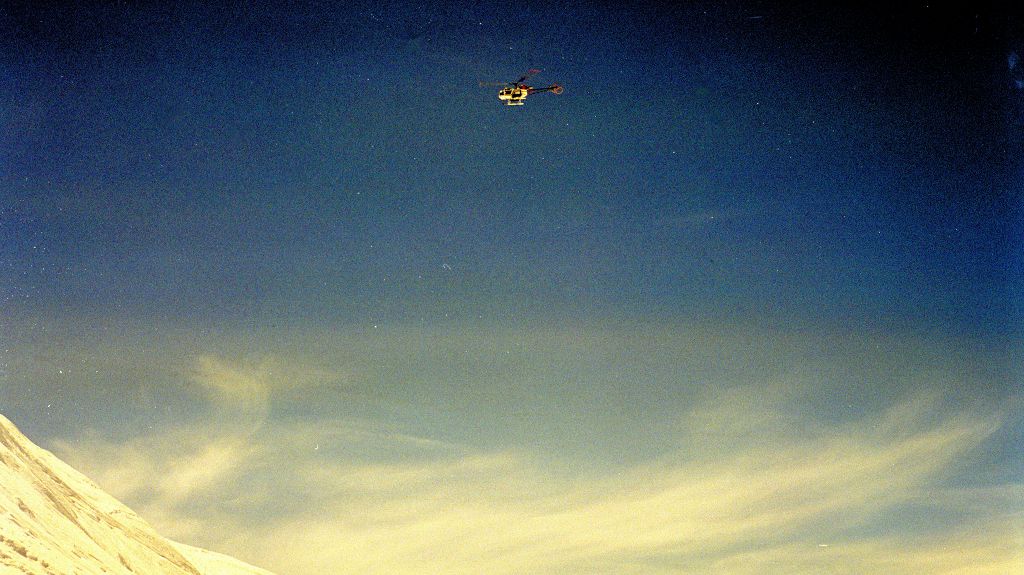
A helicopter struggles to gain altitude in the thin atmosphere.
Day 11. Yet another fine day, and so I set off once more for the summit. This time there were climbers ahead of me. I passed all but one on the climb to Denali pass, and caught the last just 50 feet before the top. By a remarkable coincidence, he was a young New Zealander from Queenstown (where I spent all my holidays in my youth) who had started his climb from the 14,200 ft camp. For 20 minutes, the highest point in the United States was occupied by two Kiwis. Without the strong cross wind of the day before, traversing the summit ridge was pure delight.
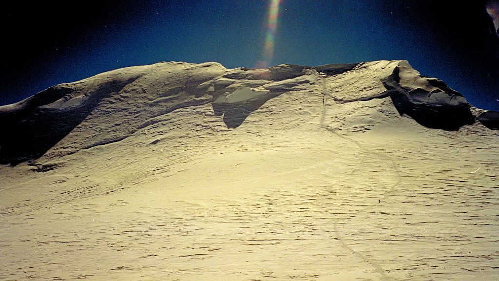
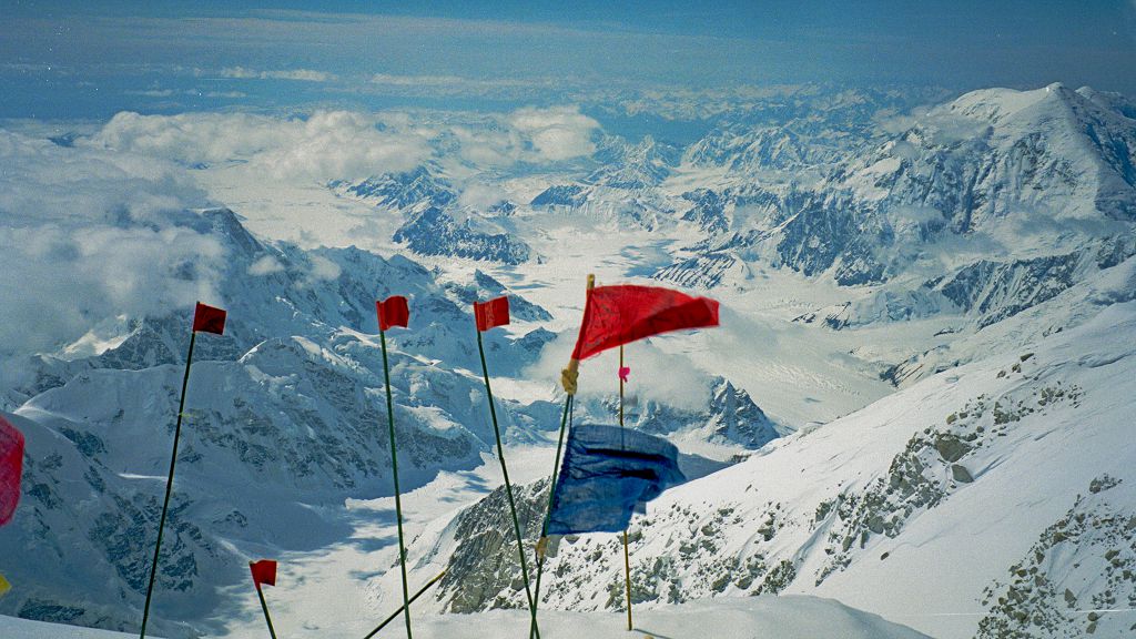
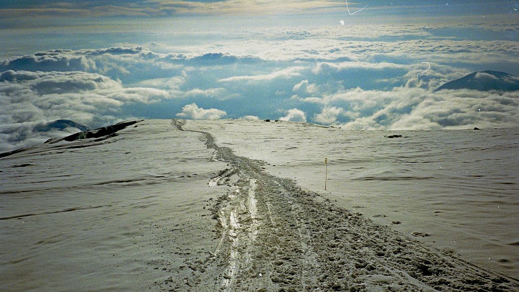
Summit ridge without snow plumes. The large flat area at 19,500 ft, known as the "football field" --- the dot at lower right on the tracks is the lone kiwi. The route climbs "pig hill" to the summit ridge, and follows it to the summit at left.
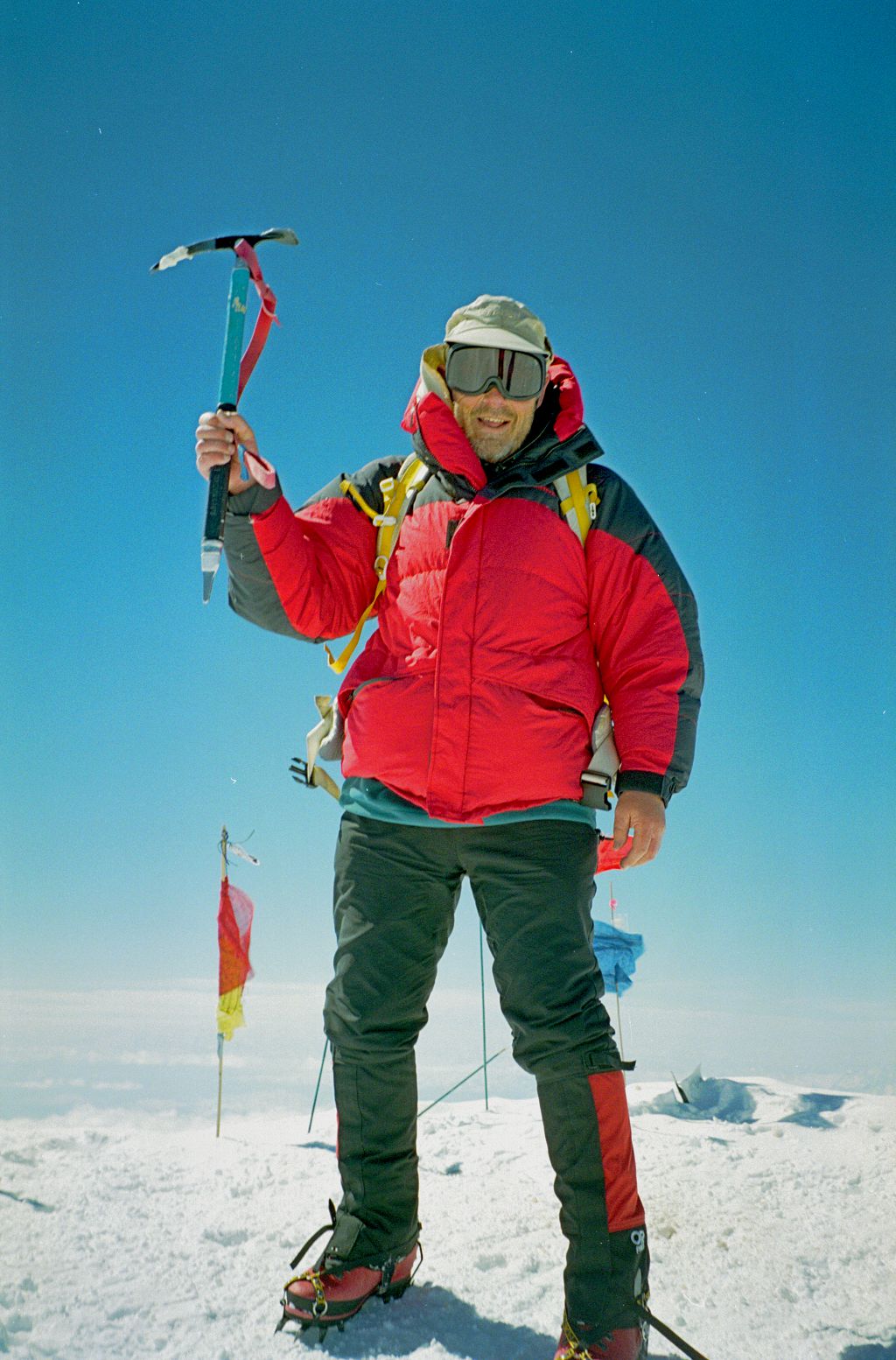
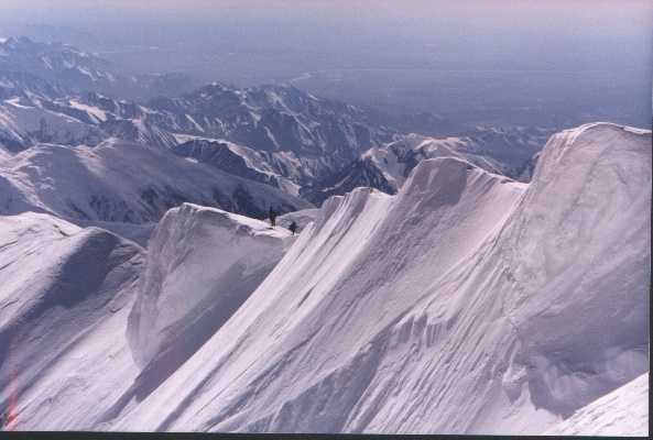
Dishevelled but happy, on top of Denali.// Two climbers on the summit ridge (Photo: Pete Downie)
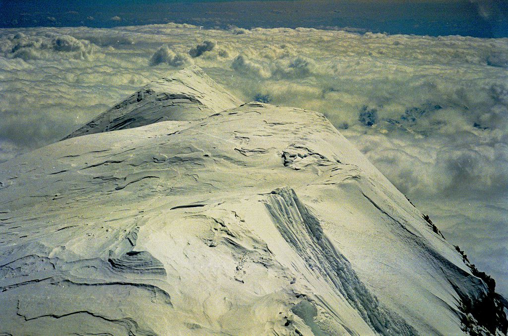
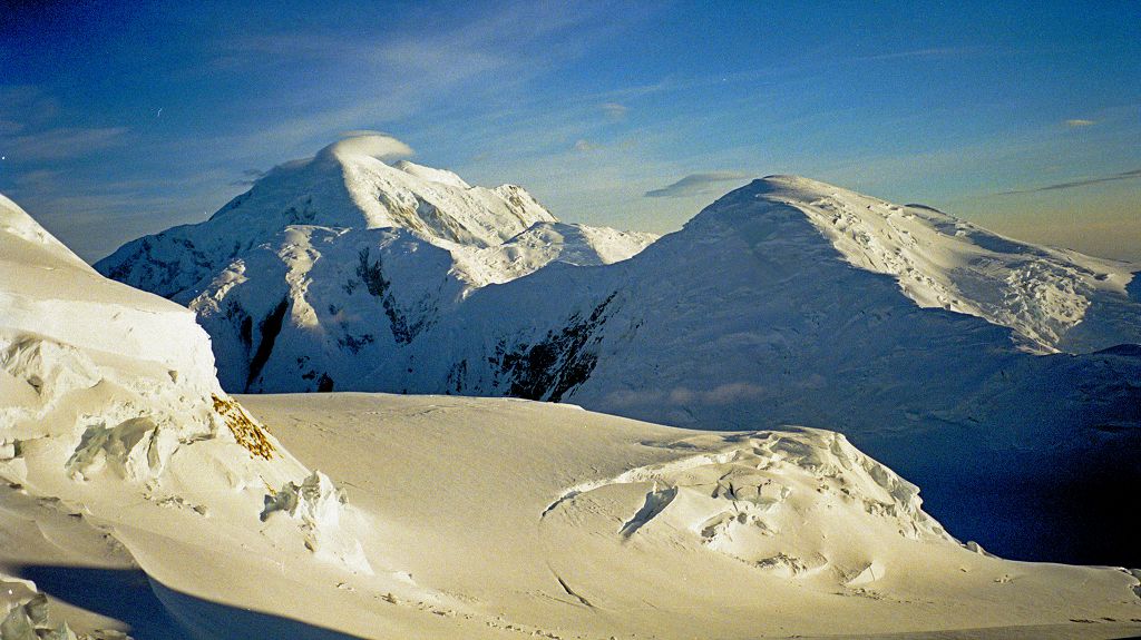
View looking north east from the summit.
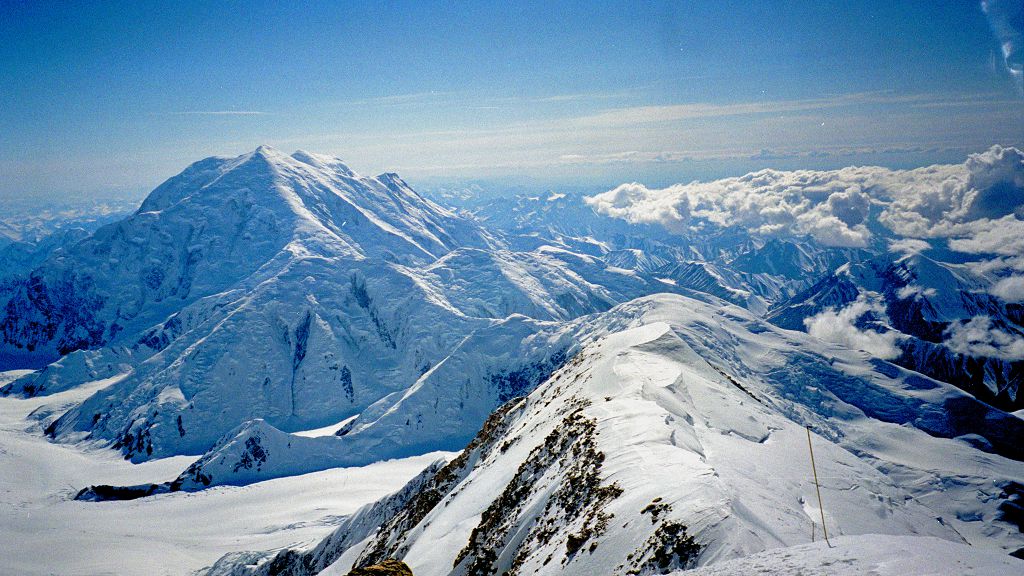
South from the summit, with the long Kahiltna glacier behind and Mount Foraker at right.
The base camp where we started is on the glacier below Foraker.
According to one guide book, the usual time for the trip from the 17,200 camp to the summit and back is 8--12 hours, and according to the other it is 10--15 hours. Most parties were taking over 10 hours and returning exhausted. I had taken a little over 6 hours.
While we were at the 17,200 camp, one member of a party of three suffered from altitude sickness while attempting the summit. On the descent, he fell, pulling another climber with him, on the dangerous snow/ice slope between the camp and Denali Pass. Fortunately, the third member saved the group.
Day 12. Pete and I descended to the 14,200 ft camp and collected our sleds. Because of careless packing, both of us had many problems with sled rollovers on the way down, but we reached the 11,000 ft campsite late.
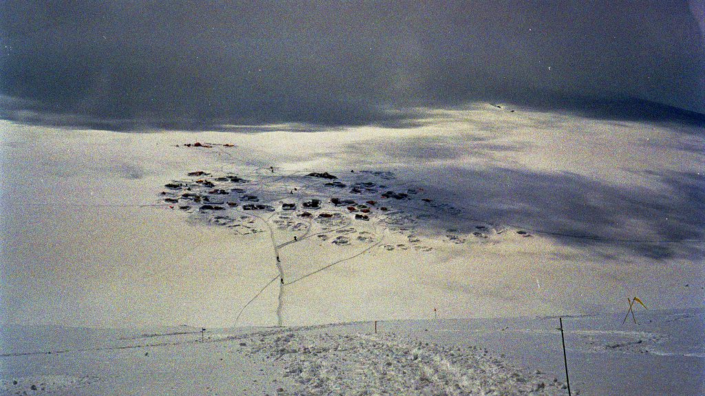
View looking down at the 14,200 ft camp. This is by far the largest camp, since everyone rests and acclimatizes here before going up to the 17,200 camp and attempting the summit.
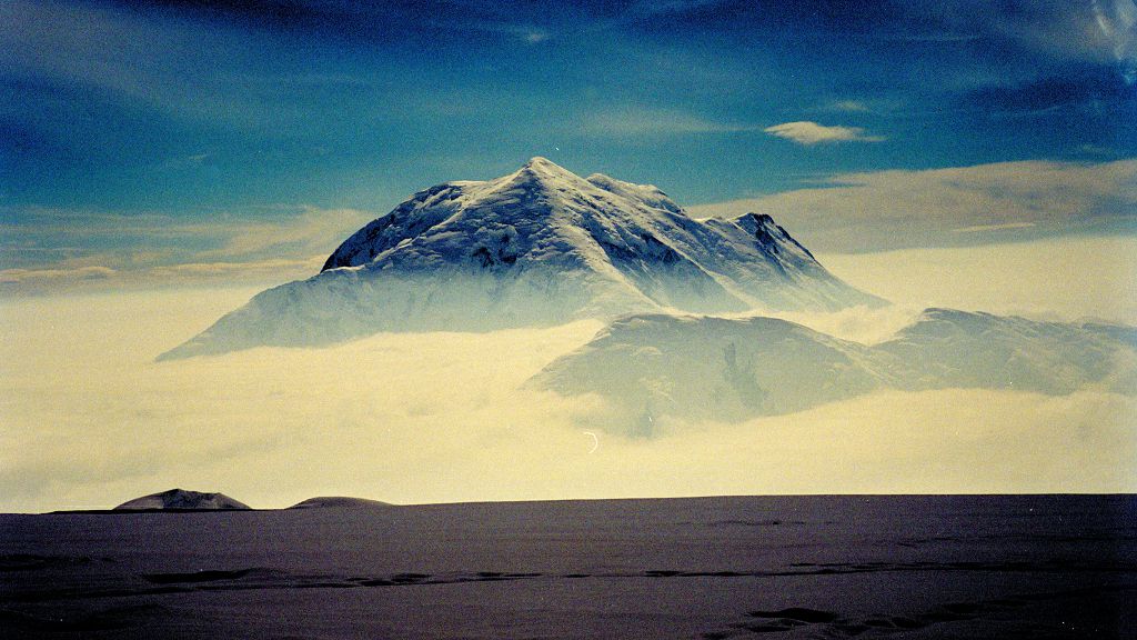
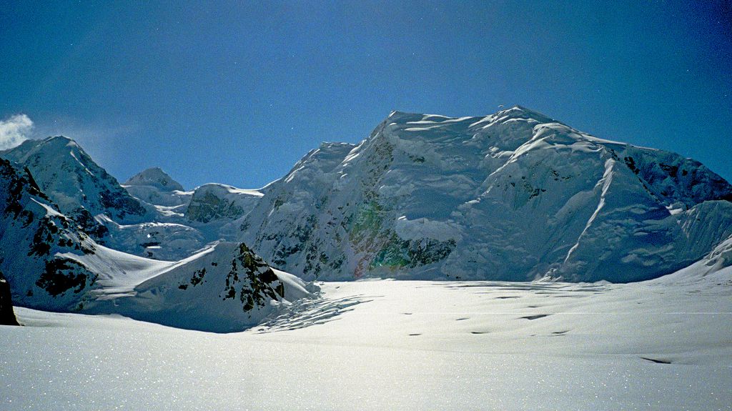
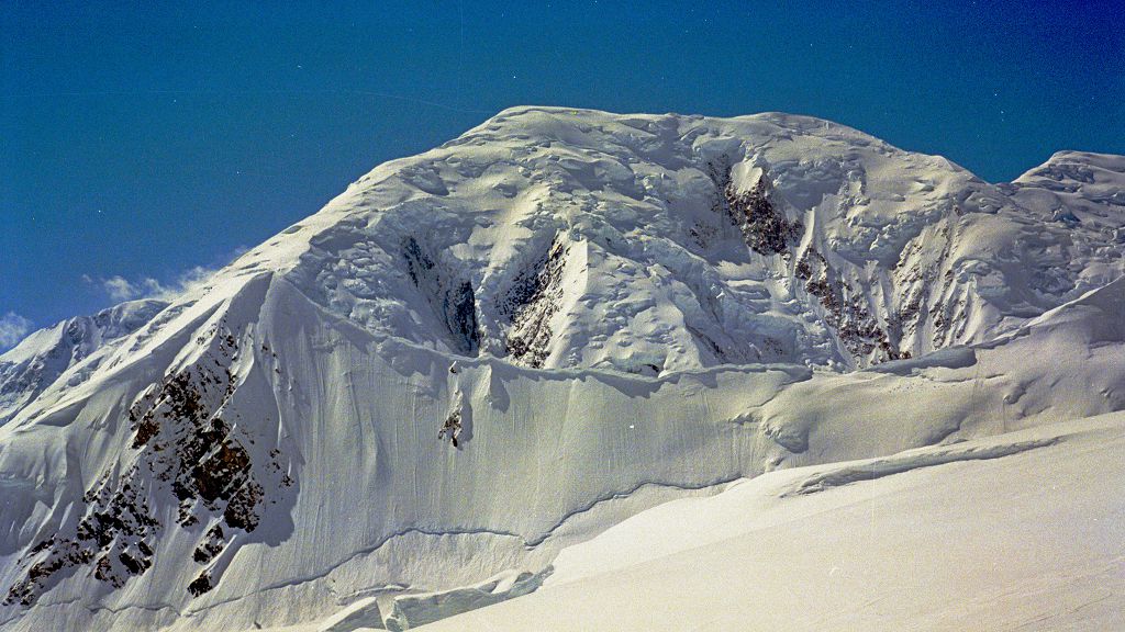
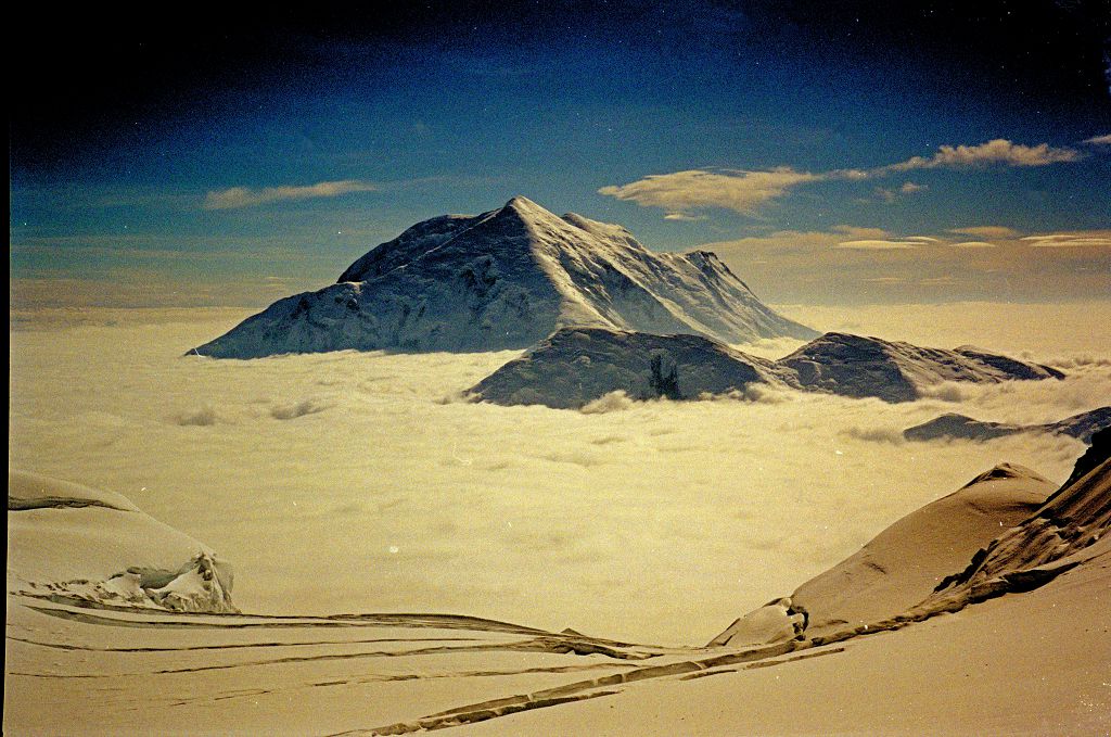
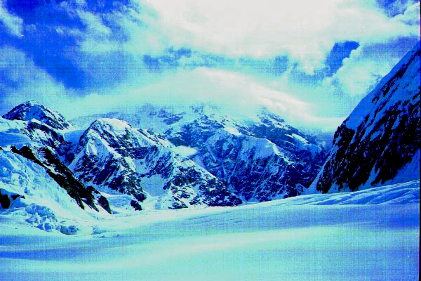
Two views of Mount Foraker, from about 14,000 feet.
Foraker and Kahiltna Dome.
Day 13. We were up early, and reached the Kahiltna base about 2:30. The crevasses were much more dangerous than on the way up, and I put one foot down a very big hole. A party before us said they "slotted" twice, despite wearing snowshoes. The base camp representative radioed for a plane, and we were back in Talkeetna drinking beer by 4pm (that's the Alaskan way).
Denali begins to disappear into the cloud as we hot-foot it down.
The weather turned mediocre as soon as we got out, and within a week there were 4 feet of new snow on the upper part of the mountain. News. By the start of July, the snow bridges on the lower part of the mountain were collapsing at an alarming rate. News
It had been a very intense trip. The route is continuously interesting, with spectacularly beautiful views the whole way. Because of the hazards from crevasses, the altitude, the Arctic weather, and the long sections where a fall can be fatal, it is very serious. The days spent soloing above 14,200 were among the best of my life.
Copyright 1999, 2025 J.S.Milne.
Revised July 2025. More photos, and better quality.